

Track at scale
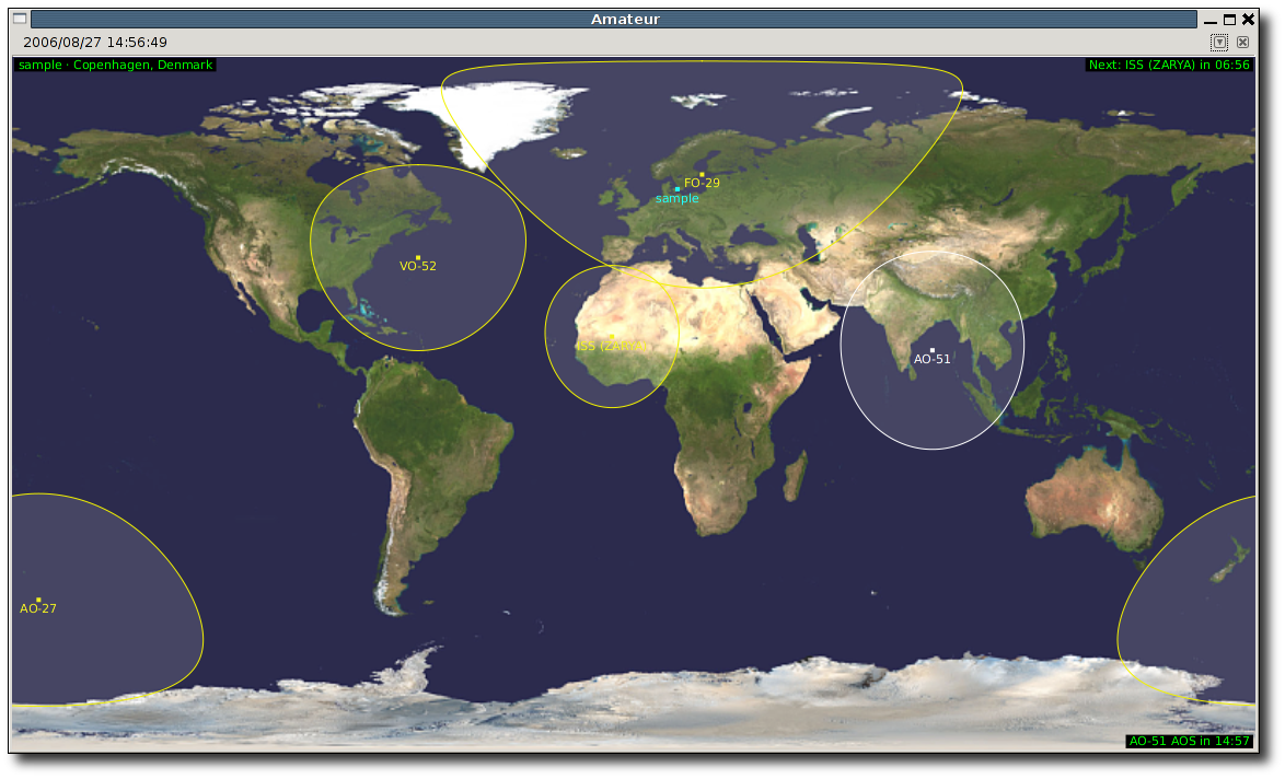
Follow many satellites from multiple observer locations, limited only by the computer running Gpredict.
Open-source station control
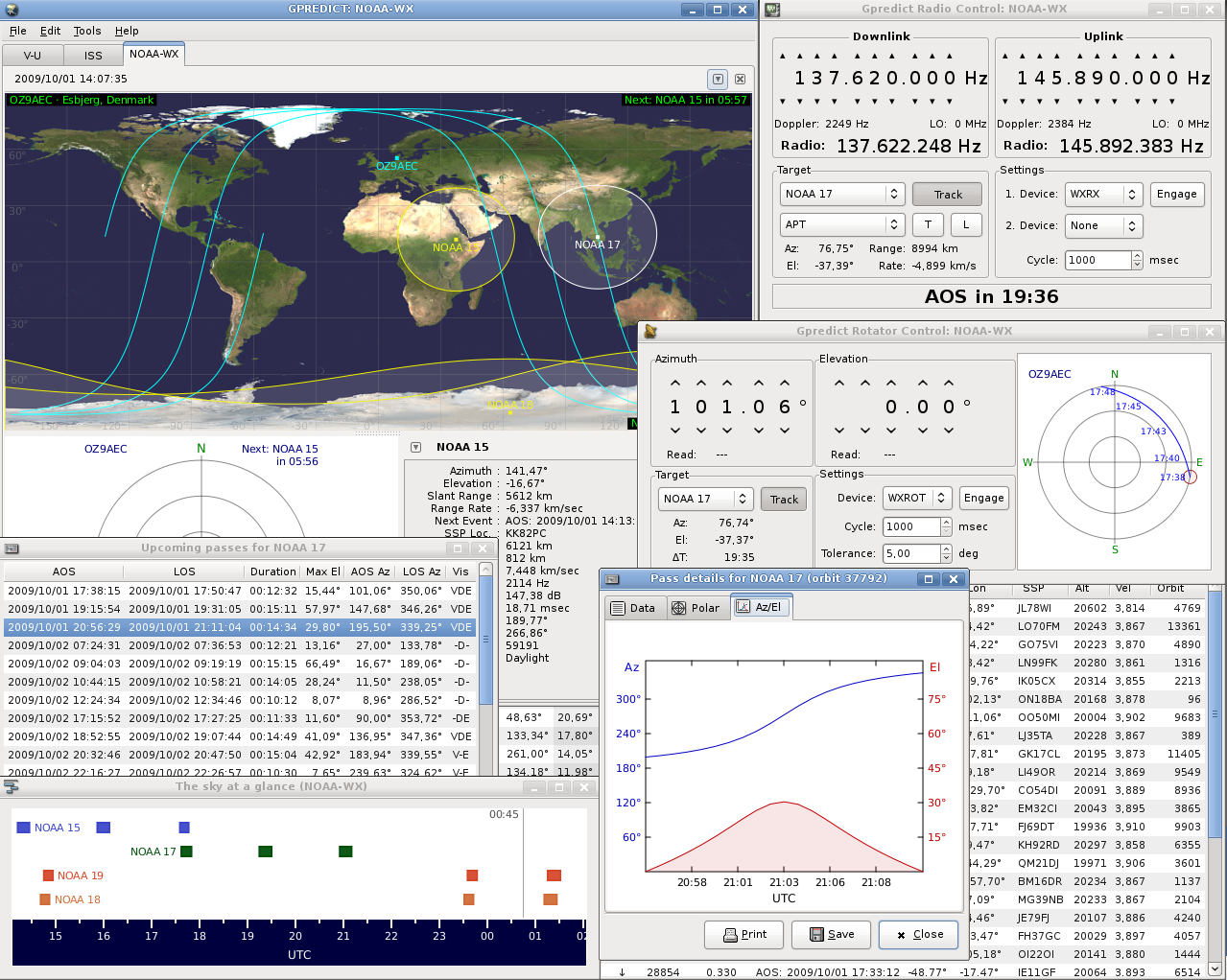
Gpredict is a free desktop application that brings maps, polar plots, pass predictions, and station hardware control into one flexible workspace.
Latest release v2.6
Core capabilities
Track satellites, predict passes, and control your station from one focused workspace
Follow many satellites from multiple observer locations, limited only by the computer running Gpredict.

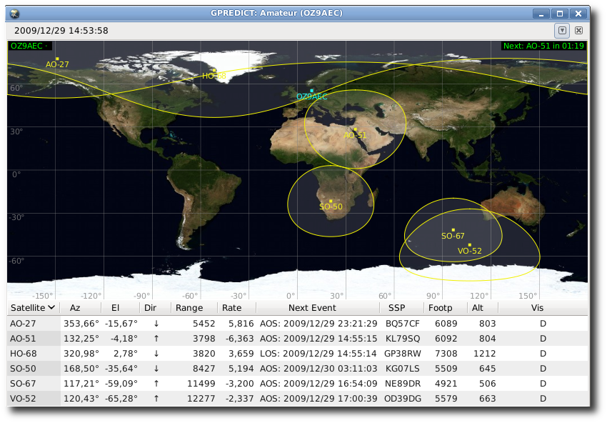
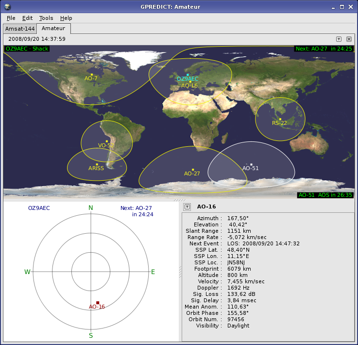
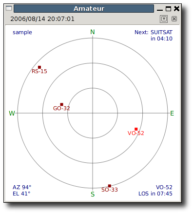
Arrange maps, tables, polar plots, and detailed single-satellite data in the layout that fits your station.

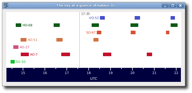
Predict upcoming passes and inspect timing, direction, elevation, and event details before acquisition.

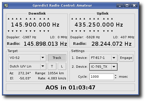
Connect radios and antenna rotators through Hamlib tools for Doppler tuning and automated pointing.
Modular workflow
Gpredict groups satellites into independent modules. Each module can use its own observer location, satellite set, time mode, and combination of views, docked in a notebook, detached into a window, or taken full screen.
Organize the satellites and observer location for a specific station, operating session, or mission.
Combine map, list, polar, event, and single-satellite views without changing the underlying data.
Work in real time, simulated real time, or manual time control for planning and review.
Inside Gpredict
These locally stored screenshots show the real desktop application and its configurable layouts.
Open-source community
Gpredict is developed in public under the GNU General Public License. Ask usage questions with the Libre Space community, inspect the source, report reproducible bugs, or help move the project forward.